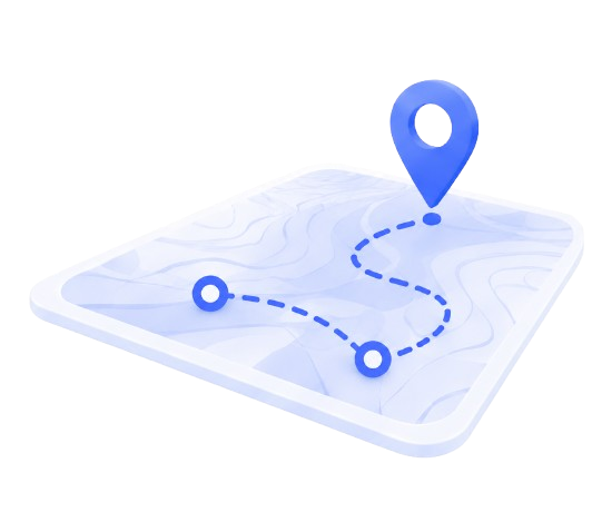






The shortest route on a map and the fastest route on the road are rarely the same. Here's how to plan multi-stop deliveries properly.
Add a fourth or fifth stop to a delivery run and the number of possible orderings explodes — the difference between the best route and an average one can easily be 20-30 minutes a day, every day.
Order stops by road distance, not map distance
Two stops that look close together on a map can be ten minutes apart by the only road that connects them. Route planning that accounts for the actual road network, not straight-line proximity, is what actually shortens a run.
Plan around time windows, not just distance
A technically shorter route that arrives outside a customer's delivery window is worse than a longer one that hits every stop on time. Time windows should reorder the route, not just get checked after the fact.
What to review after each run
- Compare planned stop order against what actually happened — driver-added detours often reveal a planning gap worth fixing.
- Track total distance and time per run over a few weeks before declaring a route "optimized."
- Re-plan recurring routes seasonally — new construction and road closures shift what "fastest" means.
FieldCalc maps multi-stop routes against real road distances, so the plan you follow in the morning is the one that actually holds up on the road.
Tags