


 Layers




Area Measurement
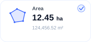
Outline any field or plot on the map to get its area and perimeter in acres, m², ft² or yd². Drag the corners to fine-tune the shape.
Measure land areas, calculate distances, plan routes, capture GPS - tagged photos, and explore nearby places all from your phone or desktop.
Precision
GPS Measurement
Smart
Route Planning
Capture
GPS Photos





Trusted by 29M field professionals
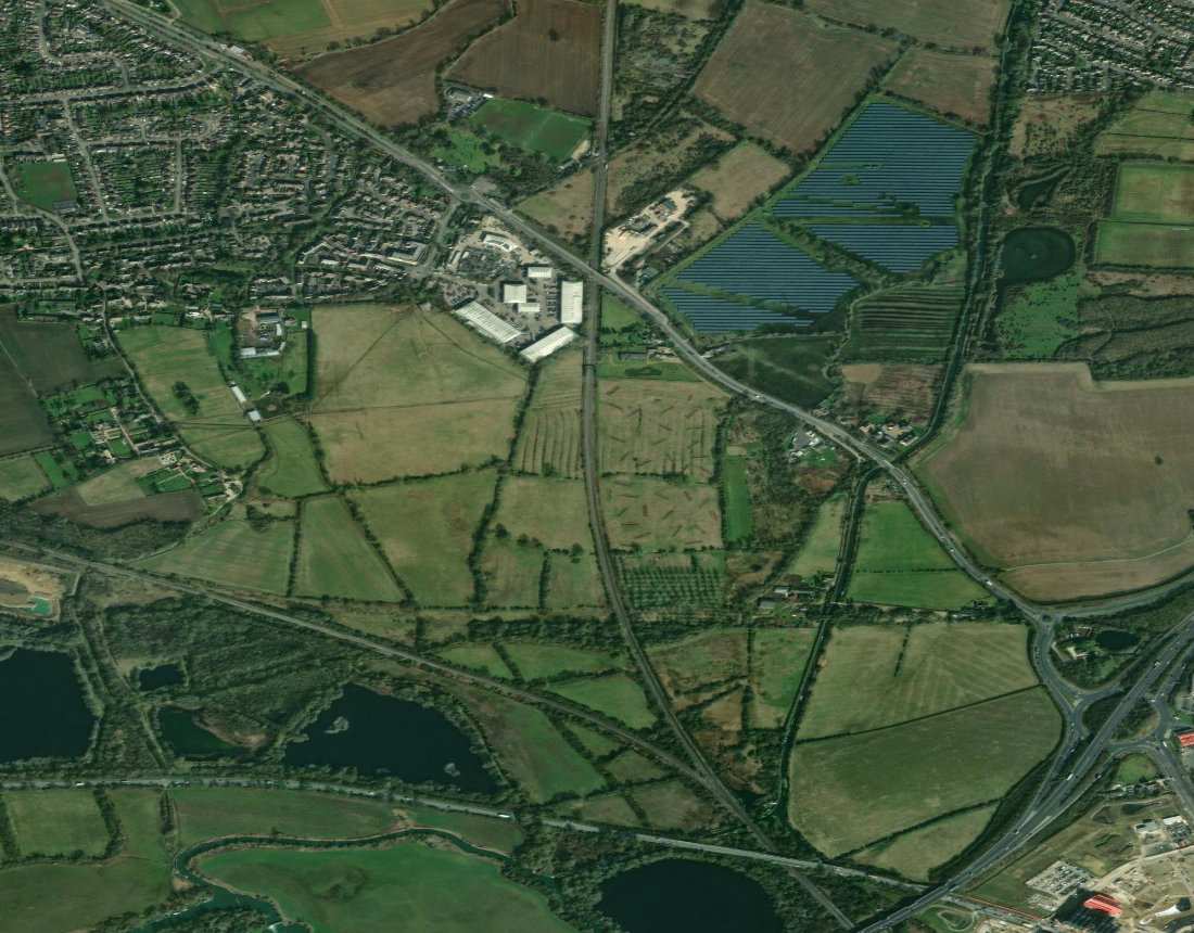
Works Offline
No internet? No problem.
Multi-Device Sync
Access anywhere, anytime.
Export & Share
PDF, KML, CSV & more.
Secure & Private
Your data is always safe.
43.5M
Measurements
29M
Users Worldwide
99.98%
Uptime
4.3
App Rating
A complete GIS-grade workspace for measurement, mapping and location intelligence.
Outline any field or plot on the map to get its area and perimeter in acres, m², ft² or yd². Drag the corners to fine-tune the shape.
Draw a straight line or a multi-point path to measure its total length in metres, kilometres, feet, yards or miles.
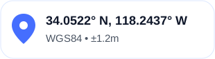
Drop a point anywhere on the map to read its exact latitude and longitude, or jump to your current location in one tap.
Place a centre and a radius point to measure round fields and ponds, or type an exact radius or area and the circle resizes to match.
View land and locations using satellite, hybrid, terrain, and standard map modes.
Check your heading with the compass and your live speed with the GPS speedometer, right in your browser.
Three simple steps take you from the first boundary point to an organised record you can export - in your browser and in the mobile app.
Step 01
Trace fields, plots and paths on satellite, hybrid or terrain maps. Get area, perimeter, distance, coordinates or a circle's radius instantly, then drag any point to fine-tune it.
Step 02
Give each measurement a name, a description and an icon, then file it into colour-coded groups so every field, site and plot is easy to find again.
Step 03
Download your measurements as a CSV for spreadsheets and reports. With FieldCalc Pro, sign in and your work stays in sync between the web and the mobile app.
Free to start · Also on iOS & Android
From measuring land to mapping sites, FieldCalc gives you practical GPS tools for work, travel, and everyday projects.
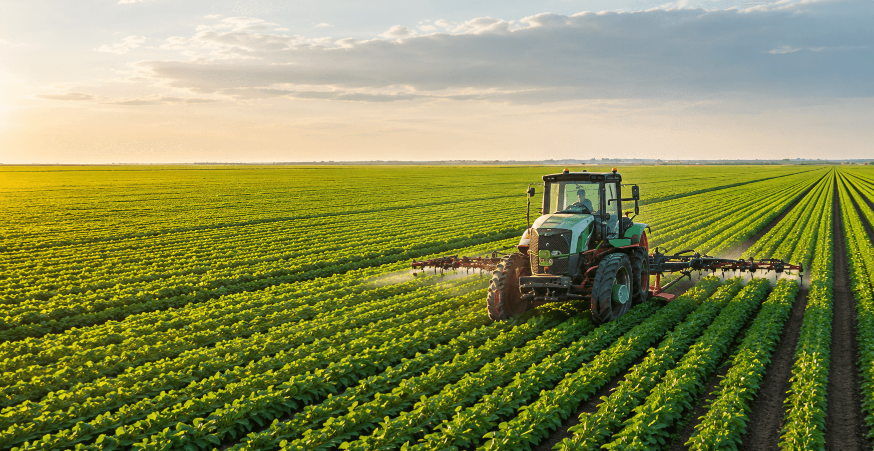 Area
AreaMeasure fields, calculate acreage, plan irrigation, and manage farmland more efficiently.
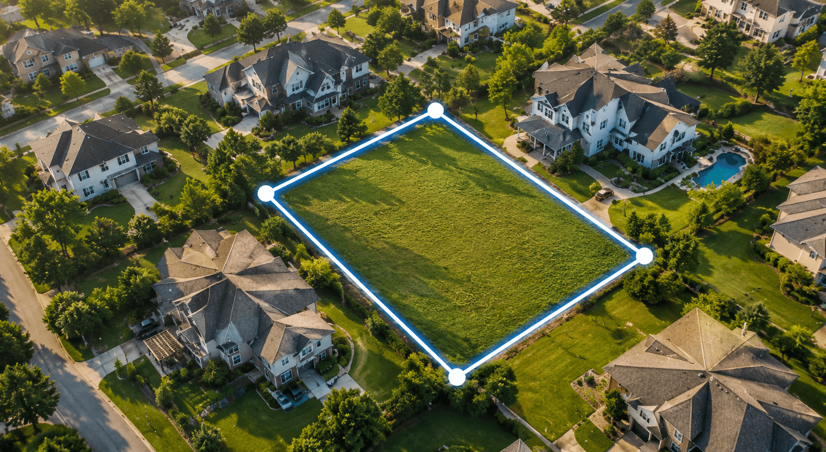 Area
AreaMap property boundaries, measure plots, and attach photos to every measurement.
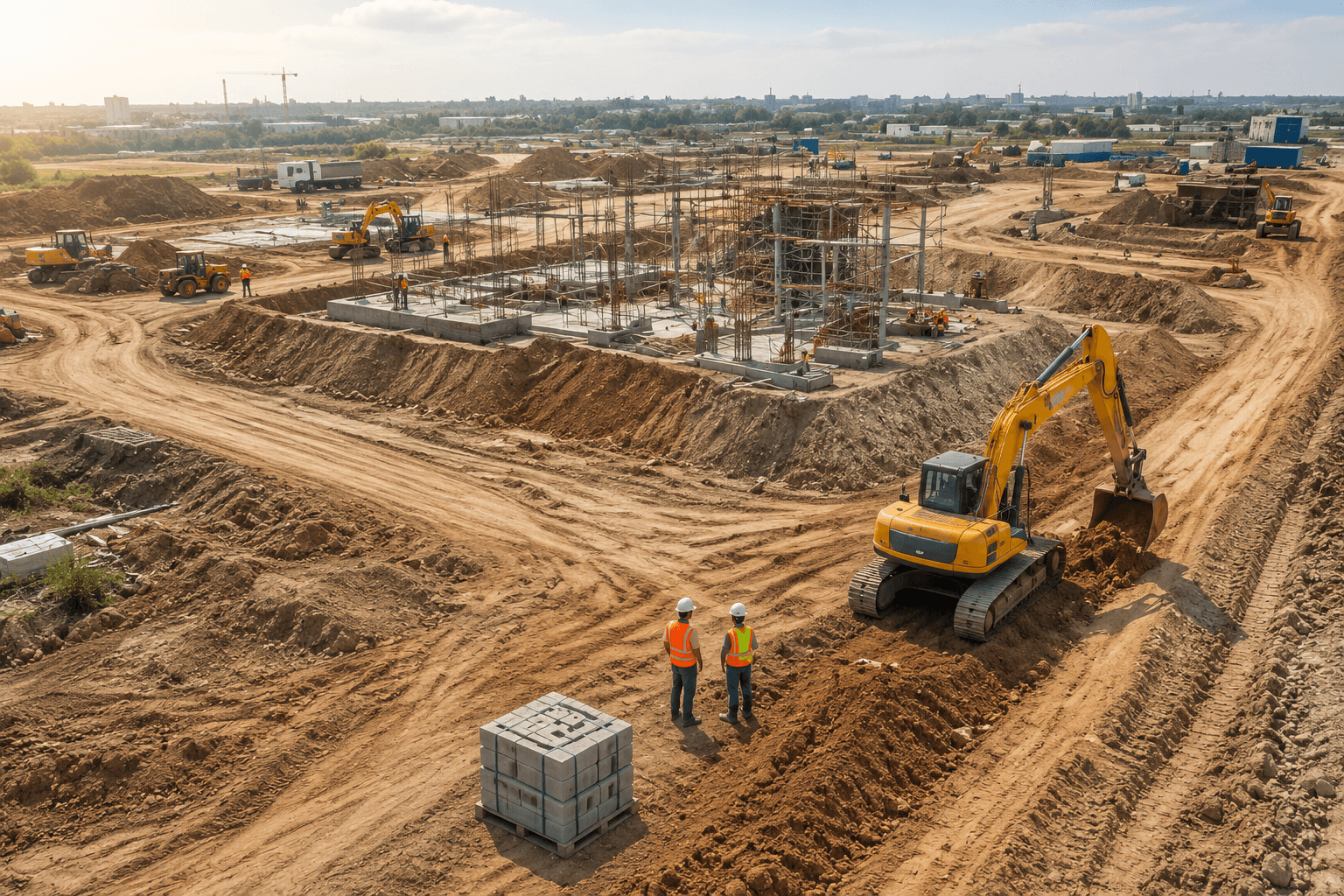 Distance
Measure sites, plan layouts, check distances, and keep track of work across the project area.
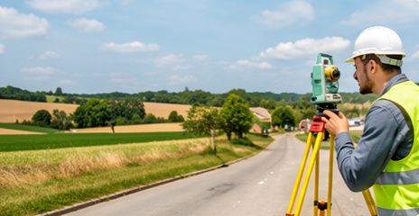 Point
PointCollect accurate field measurements and make on-site surveying faster and easier.
 Distance
Measure travel distances, pin delivery points, and organise locations into groups.
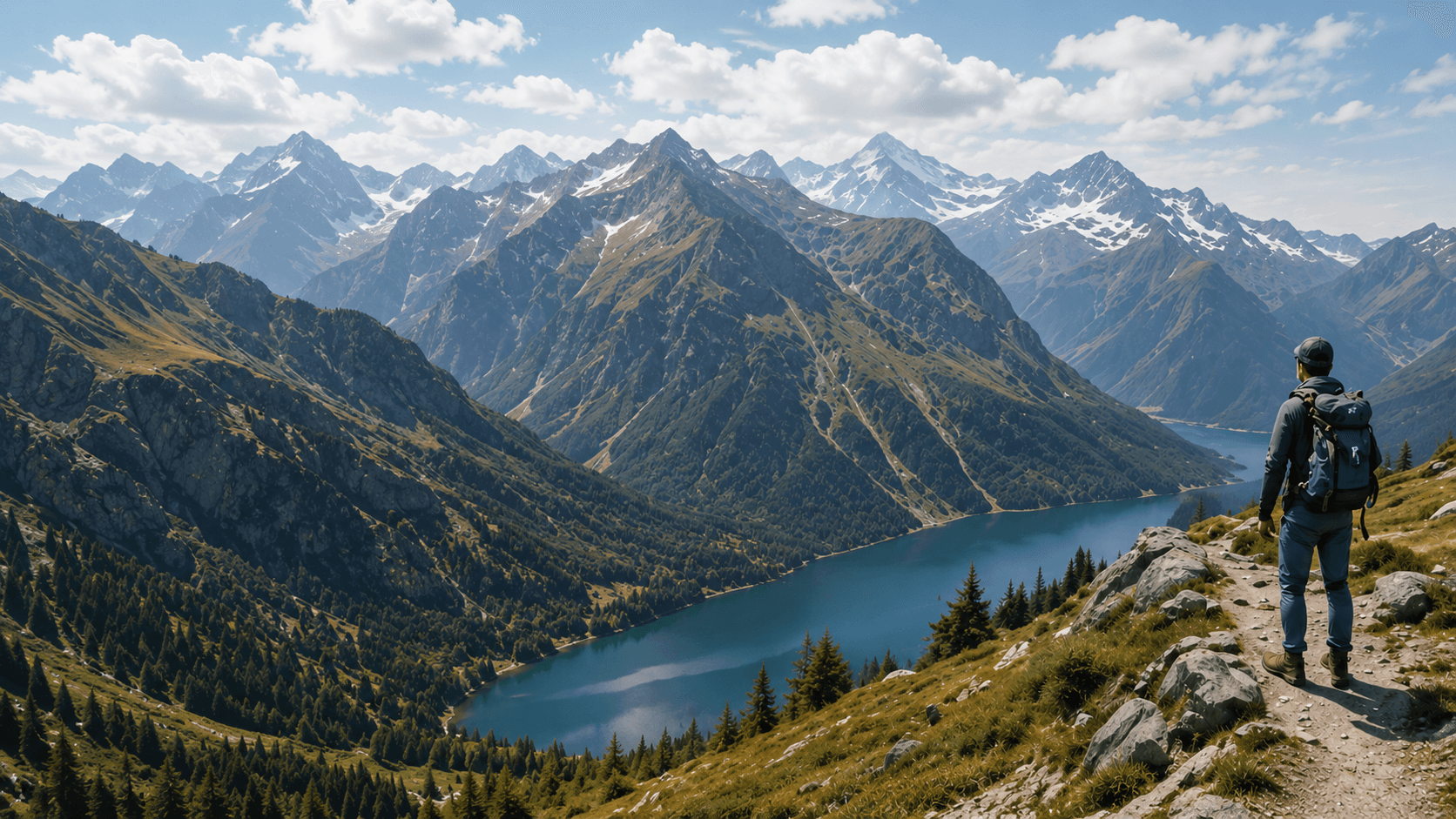 Point
PointSave exact locations, measure trails, and check your heading with the built-in compass.
High Accuracy
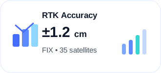
Precise GPS measurements
Reliable & Secure
Your data is safe with us
Works in Your Browser
No download or install needed
Seamless Sync
Sync across all your devices
See how farmers, surveyors, construction teams, property professionals, and delivery crews use FieldCalc in their everyday work.

David Chen
Realtor, Meridian Properties
Snapping vertices to property lines is a game changer for site walks. I send clients a branded PDF before I even leave the lot. It looks like I have a survey crew behind me.
Find quick answers about GPS accuracy, offline use, report exports, and location privacy.
Accuracy depends on your device, GPS signal, surroundings, and measuring method. For better results, stay in an open area, wait for a stable GPS signal, and mark each boundary point carefully.
Join 29M field professionals using FieldCalc to measure, plan and navigate every day.