
Built for PeopleWho Work With Land
We build GPS intelligence tools for field professionals - farmers, surveyors, engineers and scientists who need their measurements right the first time.
Accurate
Centimeter-level precision
Accessible
Powerful tools for anyone, anywhere
Reliable
Built for real-world field conditions
Always Free
Core tools will always be free to use
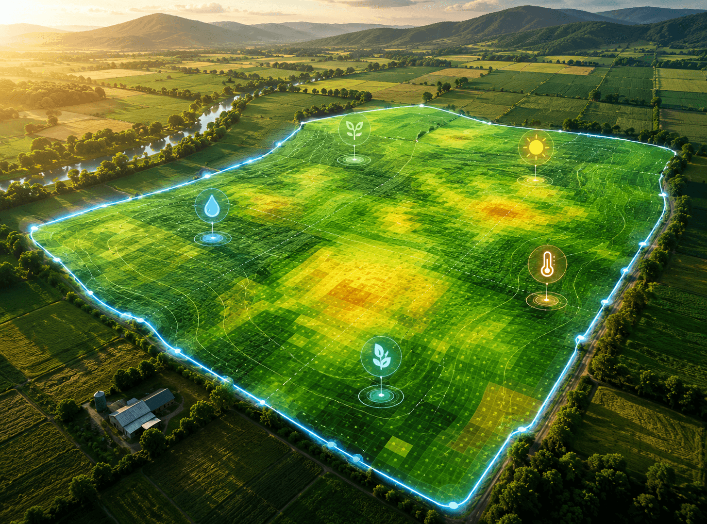
Area
4.286 ha
42,860.28 m²
Perimeter
842.65 m
Accurate Field Measurement Should Be Simple for Everyone
Professional land measurement often depends on expensive equipment, technical training, and complicated tools. FieldCalc makes everyday GPS measurement easier and more accessible for farmers, surveyors, engineers, construction teams, and outdoor professionals.
FieldCalc was founded by a small team who had spent careers watching field professionals make costly decisions from inaccurate data. We knew the technology existed to fix it. We built the apps to do exactly that.
29M
Field Professionals Worldwide
195+
Countries Covered
4.3/5
Average Rating on Stores
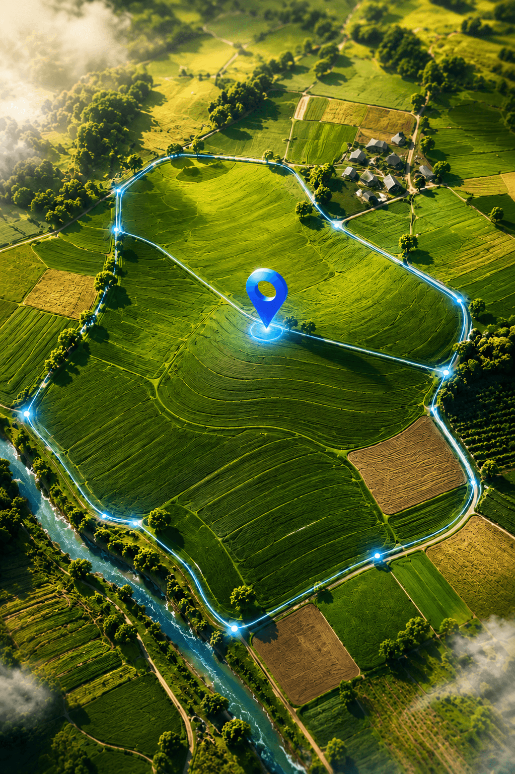
4.286 ha
842.65 m
± 0.8 m
33.8568° S, 151.2153° E
How we work
Accuracy first
We focus on reliable measurements and clear results, so you can make better decisions in the field.
Offline by default
Fieldwork does not always come with a strong internet connection, so our tools are built to stay useful wherever possible.
Globally relevant
We support different units, regions, and working styles to make FieldCalc practical for people around the world.
Open data
Your measurements belong to you. Save, export, and share them without being locked into one platform.
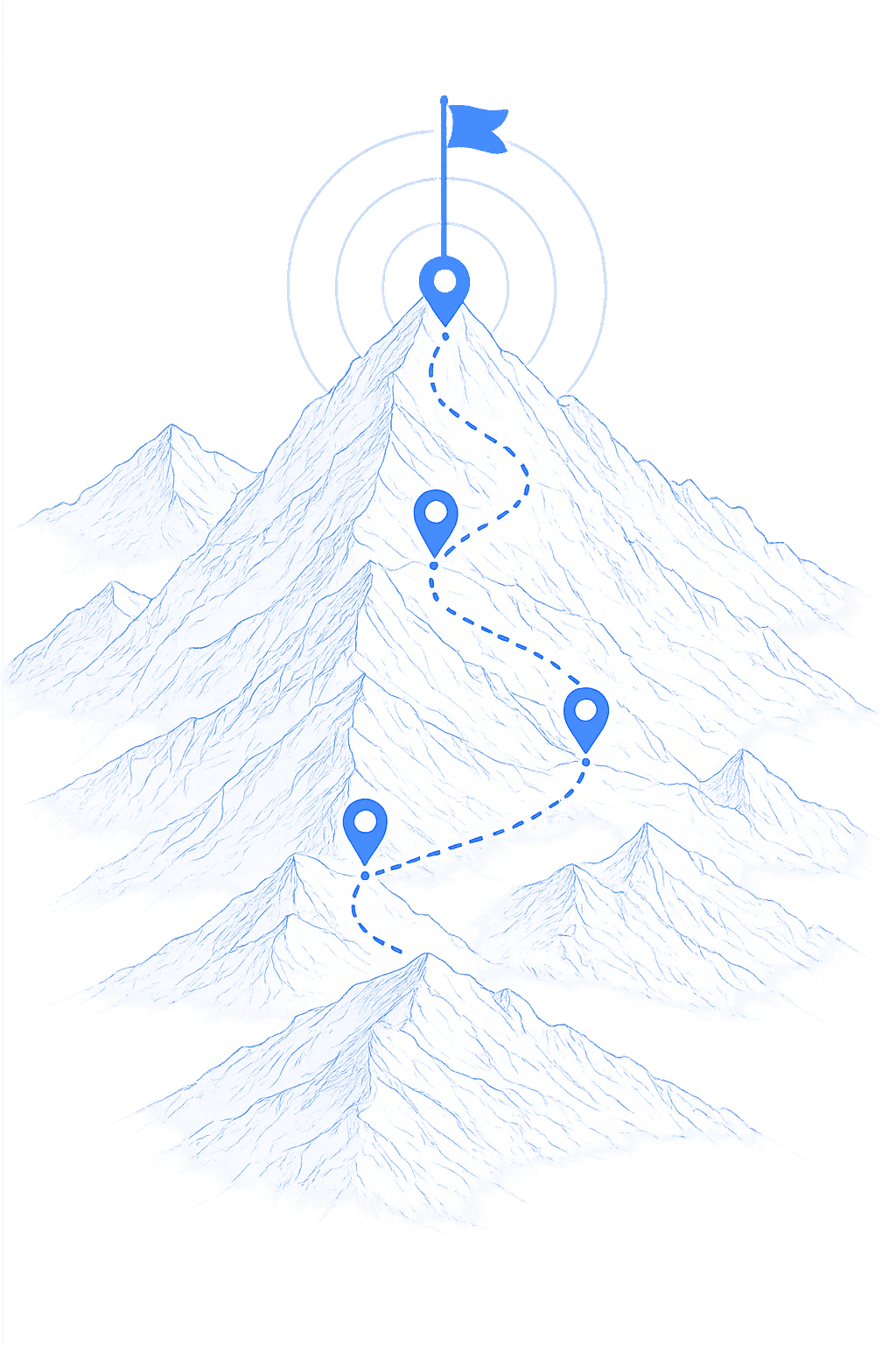
How we got here
- ●
2018
Founded as a single field-area calculator for iOS.
- ●
2019
Launched Android and crossed 100,000 downloads.
- ●
2021
Introduced RTK support and FieldTeam collaborative mapping.
- ●
2023
Surpassed 5 million downloads across 150 countries.
- ●
2025
Launched FieldNav with A-B guidance and coverage mapping.
- ●
2026
Web platform launch - all tools available in any browser.
Questions about FieldCalc
Everything you might want to know about who we are and how we work.
FieldCalc is built by Vasundhara Infotech LLP, a small team that has spent years watching field professionals - farmers, surveyors, engineers and scientists - make costly decisions from inaccurate data. We build GPS intelligence tools to fix exactly that.
On a standard phone, FieldCalc reads GPS to roughly 3–5 meters. Pair an external RTK receiver and accuracy drops to centimeter level, down to about ±2.5 cm with a corrected base station.
Yes. Offline is our default, not an afterthought - fields don't have Wi-Fi, so every core tool is built to work in zero-signal environments.
Core tools are free forever - that is a founding commitment, not a limited-time offer. We built the apps so professional-grade GPS wouldn't require an expensive terminal or an annual contract.
Yes. Your measurements are yours - FieldCalc exports to every standard GIS format (Shapefile, KML/KMZ, GeoJSON, GPX, CSV) so you're never locked in.
FieldCalc is used by 29M field professionals across 195+ countries, with an average rating of 4.3/5 on the app stores.