


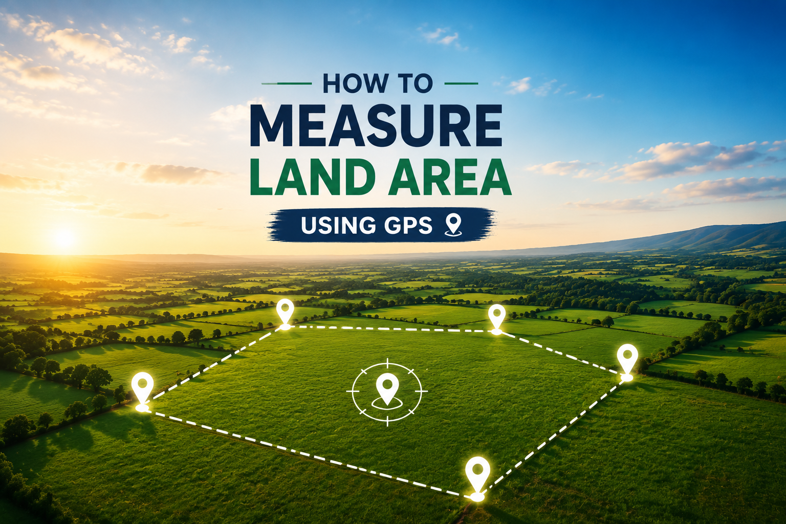
Measure land area easily using GPS and your smartphone. Learn how GPS land measurement works and calculate property size, distance, and boundaries quickly and accurately.
Measuring land area used to take a long time and the use of conventional surveying tools, manual computations and professionals. Whether you were measuring a farm, property line, construction site or backyard, getting accurate results often meant a lot of work.
In modern times, GPS technology has made land measurement very easy. With the help of a smartphone and a good GPS area measurement app, you can quickly calculate the size, distance and boundaries of a piece of land without complicated equipment.
In this guide, we will explain how GPS land measurement works, how you can measure land area using your phone, and why GPS-based tools are becoming popular among farmers, surveyors, property owners and professionals
What Is GPS Land Measurement?
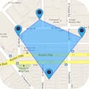
GPS land measurement uses your phone’s built-in GPS system to identify your location and calculate the area between selected points on a map.
Instead of manually measuring every corner of a field or property, you can simply:
- Walk around the land boundary using GPS tracking
- Mark points directly on a map
- Let the app calculate the total area automatically
The measurement can usually be displayed in different units such as:
- Acres
- Hectares
- Square feet
- Square meters
- Kilometers
This makes GPS measurement useful for different types of land, from small residential plots to large agricultural fields.
How to Measure Land Area Using GPS
1. Choose a GPS Land Measurement App
The first step is selecting a reliable GPS area measurement app. A good app should provide:
- Accurate GPS tracking
- Multiple measurement units
- Manual point selection
- Distance measurement
- Saved measurement history
- Map-based visualization
Apps like FieldCalc - GPS Area Measure allow users to measure land directly from their smartphone without needing specialized surveying equipment.
2. Enable GPS Location on Your Phone
Before starting the measurement, make sure your phone’s location service is turned on.
For better accuracy:
- Use GPS in an open area
- Avoid places with tall buildings or heavy obstruction
- Wait a few seconds for GPS accuracy to improve
A stronger GPS signal helps provide more reliable measurements.
3. Select Your Measurement Method
Most GPS land measurement apps offer multiple ways to calculate area.
Walk Around the Boundary
This method is useful for farms, fields, and large properties.
Simply:
- Start the measurement
- Walk along the edges of the land
- Let GPS track your movement
- Finish when you return to the starting point
The app automatically calculates the enclosed area.
Mark Points on the Map
If walking around the property is not possible, you can manually select points.
For example:
- Select one corner of the land
- Add another point for each boundary corner
- Complete the shape
The app calculates the total area between those points.
This method is useful for:
- Property planning
- Real estate evaluation
- Construction projects
Benefits of Using GPS for Land Measurement
1. Saves Time
Traditional land measurement can take hours or even days depending on the property size.
GPS measurement allows you to get results within minutes using only your smartphone.
2. Easy for Anyone to Use
You do not need advanced surveying knowledge.
Modern GPS measurement apps are designed with simple interfaces where anyone can:
- Mark locations
- Measure distance
- Calculate area
- Save results
3. Useful for Multiple Industries
GPS land measurement is helpful for:
Farmers
Farmers can calculate:
- Crop field size
- Land boundaries
- Farming area
- Irrigation planning
Surveyors
Professionals can use GPS tools for:
- Quick field measurements
- Property mapping
- Boundary checking
Real Estate Professionals
Property managers can quickly estimate:
- Plot sizes
- Land dimensions
- Development areas
Construction Teams
Contractors can measure:
- Project areas
- Site boundaries
- Material planning zones
Measuring Different Land Shapes with GPS
Not every property has a simple square or rectangular shape. Many lands have irregular boundaries.
A good GPS measurement app can handle:
Irregular Fields
For agricultural land with uneven borders, GPS tracking helps capture the actual shape accurately.
Circular Areas
Some properties include circular sections such as:
- Water tanks
- Circular fields
- Gardens
GPS tools can calculate these areas using radius-based measurements.
Multiple Sections
Some apps also allow users to subtract areas or measure separate sections of the same property.
Why GPS Measurement Is Better Than Manual Calculation
Traditional methods often require:
- Measuring tapes
- Physical marking
- Manual calculations
- Multiple people
GPS-based measurement provides:
Faster calculations
Digital records
Map visualization
Easy sharing
Less manual work
While professional surveying equipment may still be required for legal surveys, GPS apps are excellent for quick estimates and everyday measurements.
Tips for More Accurate GPS Measurements
Follow these tips to improve accuracy:
- Measure outdoors with a clear sky view
- Keep your phone steady while marking points
- Wait for better GPS accuracy before starting
- Walk slowly around boundaries
- Take multiple measurements for comparison
These simple steps can improve your results significantly.
How FieldCalc Helps With GPS Land Measurement
FieldCalc makes measuring land simple by combining GPS technology with easy-to-use mapping tools.
With FieldCalc, users can:
- Measure land area and distance
- Calculate acres, hectares, and square feet
- Mark locations using GPS coordinates
- Save measurement records
- Organize projects with photos and notes
Whether you are measuring farmland, property, or a construction area, FieldCalc helps turn complex measurements into simple results.
Conclusion
GPS technology has completely changed the way people measure land. What once required expensive equipment and professional help can now be done quickly using a smartphone.
Whether you are a farmer checking field size, a property owner measuring land boundaries, or a professional managing projects, GPS land measurement provides a faster and more convenient solution.
With tools like FieldCalc, measuring land becomes simple, accurate, and accessible for everyone.
Frequently Asked Questions (FAQ)
Yes. GPS measurement apps use your phone’s GPS system to calculate land area, distance, and boundaries without additional equipment.
Accuracy depends on GPS signal quality, location conditions, and the device. For general measurements and estimates, GPS apps provide reliable results.
Yes. GPS land measurement is commonly used for farms to calculate field size, crop areas, and property boundaries.
Most apps support multiple units, including acres, hectares, square feet, and square meters.
Many GPS apps can use GPS signals without internet, but map features and satellite views may require an internet connection.