




Learn how to measure land for construction accurately. Explore land survey methods, plot area formulas, GPS tools, and construction area calculations.
Before starting any construction project, accurate land measurement is essential for proper planning and execution. Understanding how to measure land for construction helps homeowners, builders, and architects determine available space, prepare building designs, estimate costs, and avoid issues such as boundary disputes or incorrect layouts.
Land measurement involves checking property boundaries, calculating plot dimensions, and finding the total usable area. With modern GPS tools, surveying equipment, and digital measurement solutions, the process has become faster and more accurate. Proper land measurement for construction ensures that every stage of a building project starts with reliable information.
What Is Land Measurement for Construction?
Land measurement for construction is the process of calculating the exact size, shape, and boundaries of a property before building work begins. It helps determine the total plot area and the space available for construction.
Builders and architects use accurate measurements to create building plans, estimate materials, and understand construction limitations. Plot area and construction area are not always the same. The total plot size may include areas required for parking, open spaces, setbacks, or other regulations.
For example, a 2,000 square feet plot may not allow construction on the entire area because local building rules may require a certain percentage of open space.
Why Accurate Construction Site Measurement Matters
A precise construction site measurement helps prevent costly mistakes during a project. Incorrect measurements can affect building design, increase expenses, and create legal problems.
Accurate measurement helps confirm property boundaries and ensures that construction remains within the correct area. It also allows architects to design better layouts for rooms, parking, drainage systems, and other features.
Proper measurements are also important for estimating construction materials. The quantity of concrete, steel, flooring, and other materials depends on the size of the project.
How to Measure Land for Construction Projects
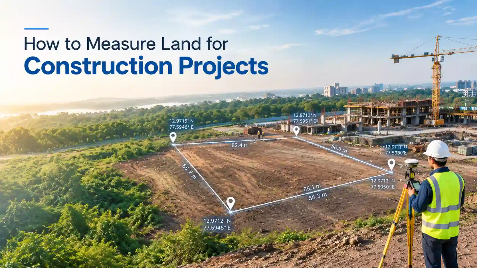
The process of how to measure land for construction starts with checking property documents and confirming boundaries. Official records, site plans, and survey documents provide important information about the land.
After verifying boundaries, measure the length and width of the plot. For a rectangular plot, the area can be calculated using this formula:
Area = Length × Width
For example, if a plot is 50 feet long and 40 feet wide:
50 × 40 = 2,000 square feet
The total plot area is 2,000 square feet.
For complex properties, professionals use GPS devices, total station equipment, laser distance meters, and digital mapping tools to achieve accurate results.
How to Measure a Plot of Land?
The method of how to measure a plot of land depends on its shape.
A square plot can be measured by multiplying one side by itself:
Area = Side × Side
A triangle-shaped plot uses:
Area = ½ × Base × Height
Irregular plots are more difficult because they do not have equal sides. Surveyors usually divide the land into smaller sections and calculate each part separately.
A plot measurement calculator can help users quickly estimate land size and convert measurements between different units.
How to Measure Land Area in Square Feet?
Knowing how to measure land area in square feet is important because square feet is commonly used in construction planning.
For regular plots, multiply length and width to calculate the area. For example:
Length = 60 feet
Width = 40 feet
60 × 40 = 2,400 square feet
Common conversions include:
- 1 square meter = 10.764 square feet
- 1 acre = 43,560 square feet
How to Calculate Construction Area From Plot Size?
Many property owners want to know how to calculate construction area from plot size before creating building plans.
The basic formula is:
Construction Area = Plot Area × Allowed Construction Percentage
For example, if a plot is 5,000 square feet and the allowed construction percentage is 60%:
5,000 × 0.60 = 3,000 square feet
The final construction area depends on local building regulations, setbacks, and approval requirements.
Tools Used for Land Measurement
Modern technology makes land measurement faster and more reliable. Common tools include:
- GPS land measurement devices
- Total station survey equipment
- Laser distance meters
- Digital map measurement tools
- Online plot measurement calculators
These tools help reduce errors and provide better results for construction planning.
Land Survey for Construction: When Is It Needed?
A land survey for construction is recommended for new buildings, large properties, commercial projects, and irregular plots.
Professional surveys help verify boundaries, land dimensions, and site conditions. This information helps engineers and architects create accurate designs before construction begins.
Common Mistakes During Land Measurement
Some common mistakes include measuring from incorrect boundaries, ignoring land slope, using wrong measurement units, and skipping professional verification.
Checking documents, using proper tools, and confirming measurements before construction can prevent expensive problems.
Conclusion
Understanding how to measure land for construction helps property owners and builders plan projects accurately. Correct land measurement improves building design, controls costs, and reduces construction risks.
Whether you are building a home or a commercial structure, proper land measurement for construction provides a strong foundation for successful development. Using reliable surveying methods and digital measurement tools makes the entire process easier and more efficient.
Frequently Asked Questions
Land is measured by confirming boundaries, calculating dimensions, and finding the total area using formulas or surveying tools.
GPS devices, total stations, laser meters, and digital mapping tools are commonly used.
Plot area is calculated according to the shape of land. For rectangular plots, multiply length by width.
GPS tools can provide accurate location and measurement data, especially when combined with professional surveying methods.
A survey confirms boundaries, measurements, and site details needed for accurate construction planning.